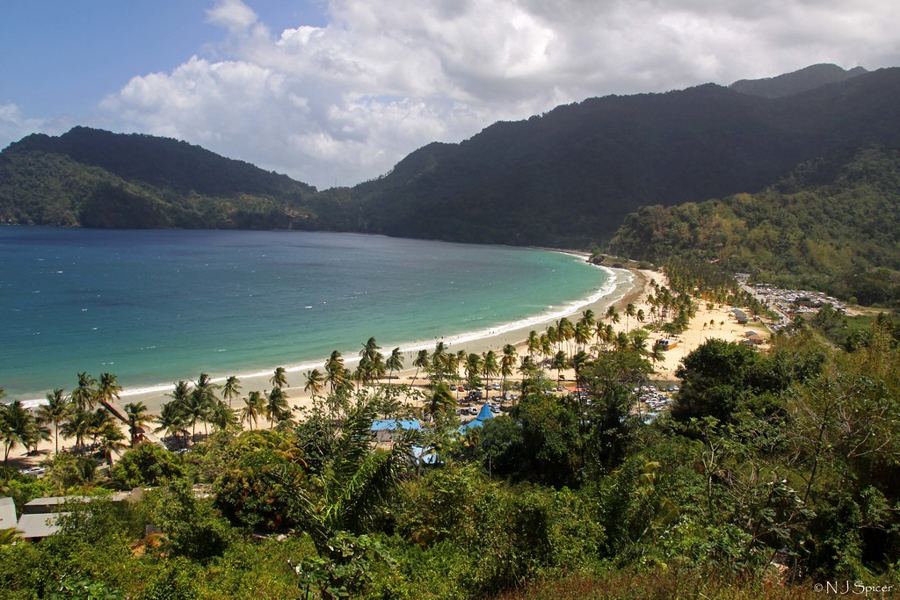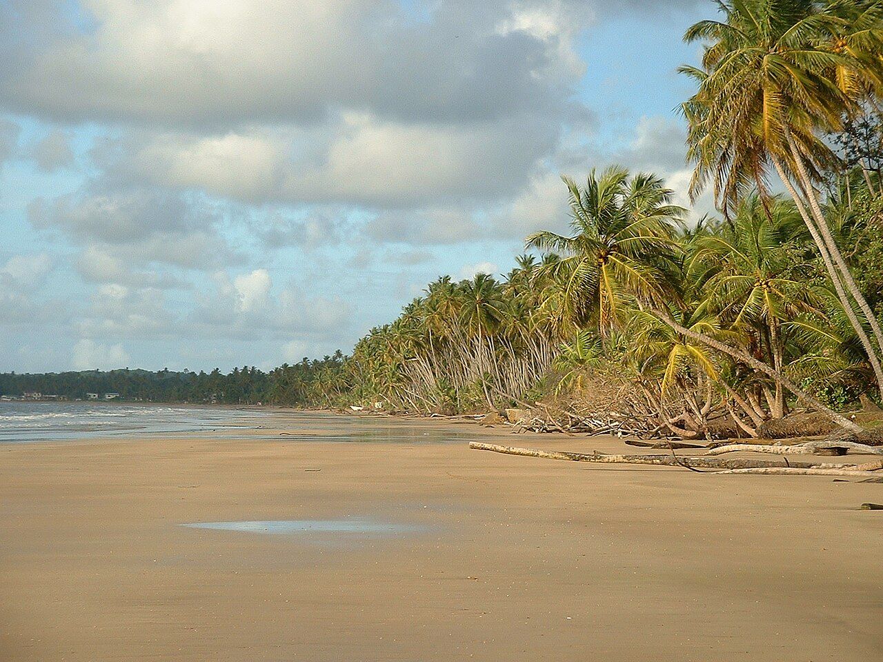
Mayaro sits at the far southeastern corner of Trinidad, a long way from Port of Spain by island standards. That distance is the point. Families have come here for generations to spend Easter, the August holidays and long weekends in beach houses close to the sand, and the town still has an easy, unhurried feel. For visitors, it offers one of the longest beaches in Trinidad and a stretch of coast that few outsiders see.
Mayaro Bay
Mayaro Bay is a huge curve of sand facing the Atlantic, running for many kilometres from the mouth of the Ortoire River in the north towards Galeota Point in the south. Coconut palms crowd the back of the beach, some leaning far out over the sand where the sea has cut away the bank. At low tide the beach is wide and firm, perfect for long walks, and you can go a long way without meeting anyone.
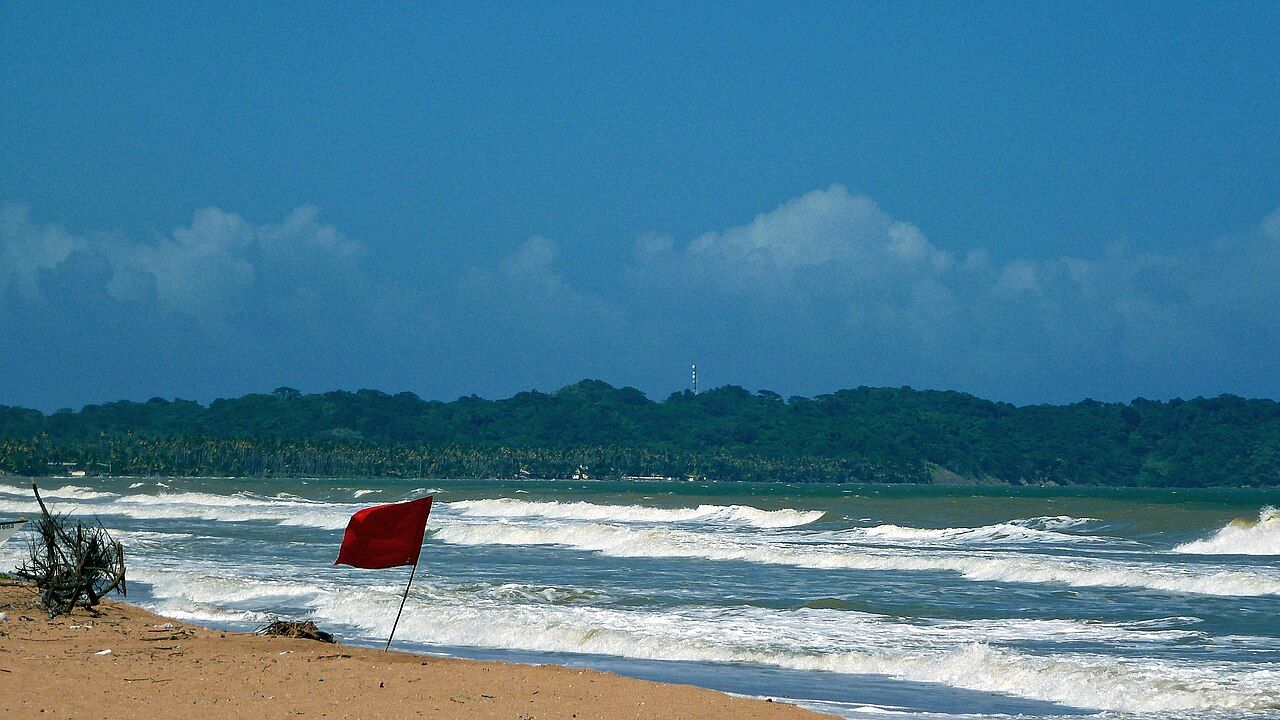
The water is often cloudy and brownish, coloured by sediment carried along the coast, and the waves come in steadily. On a calm day it is pleasant for paddling. On a rough one it is something to watch from the shade.
Swimming sensibly
Like the rest of the east coast, Mayaro has rip currents, strong flows of water heading out to sea that can catch swimmers off guard. Swim near other people and where lifeguards are on duty, if there are any on that day. Stay in your depth and keep a close eye on children.
If a current pulls you away from the shore, stay calm, swim parallel to the beach until you feel it ease, then head back in. When in doubt, stay out. The beach is lovely enough to enjoy from the sand, and plenty of local families do exactly that, sitting in the shallows rather than heading for the breakers.
Fishing boats and village life
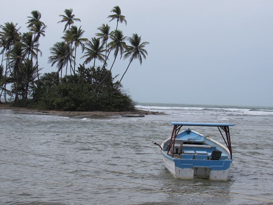
Fishing has long been part of life here. Small wooden and fibreglass boats, known as pirogues, work from the beach and the river mouths, and you may see them being hauled up the sand or setting out in the early morning. The catch is sorted on the spot, and pelicans and frigatebirds hang about hoping for scraps.
Early morning on the beach is the time to see this side of Mayaro. The light is soft, the sand is cool, and the boats come and go with little fuss. If you want to buy fish, ask politely and accept that the best of the catch may already be spoken for. Keep clear of nets drying on the sand, and give the fishermen room to work.
Mayaro town itself is spread out along the main road, with churches, schools, small shops and the usual mix of houses old and new. There are no grand sights. Instead there are small pleasures: fresh fish, the sound of the sea at night, a game of cricket or football on the sand in the evening, and neighbours liming on porches.
 Another lime · East coastManzanilla and the long road through the palms
Galeota Point and the oil platforms
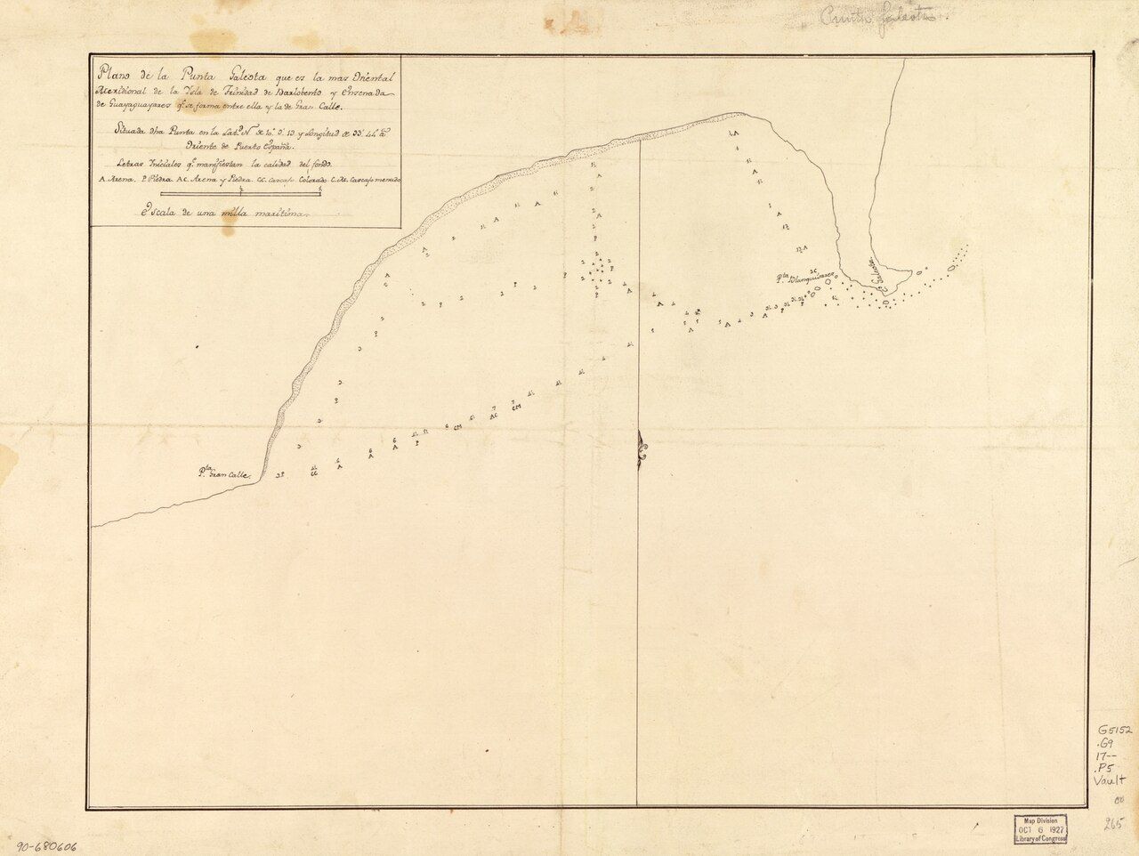
South of the bay the coast turns at Galeota Point, the southeastern tip of Trinidad. Offshore, in the waters to the east and south, lie oil and gas platforms, and on clear days and at night you can pick out their shapes and lights on the horizon. The energy industry has shaped the southeast for a long time, and you will see its traces in pipelines, port facilities and service roads near the point.
It makes for an odd and rather striking contrast: palm-lined beaches and fishing boats in the foreground, industrial structures far out at sea. Much of the land near the point is used by the industry and not open to visitors, so enjoy the view from public roads and beaches. Beyond the point, Guayaguayare Bay curves away to the west, quieter still.
Getting there
There are two main ways to reach Mayaro by road. The scenic route follows the coast south from Manzanilla along the Cocal, between the sea and the Nariva Swamp; the guide to Manzanilla and the Cocal road covers that drive. The other comes across the middle of the island through Rio Claro. The coast road can be affected by flooding and erosion, so check conditions before you set out, especially in the rainy season.
Maxi taxis and route taxis serve the area, but connections are slower and less frequent than in the north, and services thin out in the evening. If you are relying on public transport, start early and confirm the last ride back. The guide to getting around Trinidad explains the colour bands and how to flag a ride.
When to go and how long to stay
The dry season, roughly January to May, brings the sunniest weather. Easter weekend and the August holidays are busy, with beach houses full and a lively mood in town; outside those times Mayaro can feel almost deserted, which suits many visitors perfectly. Rainy-season afternoons can be wet, but mornings are often fine.
A day trip from the north is possible but long. Mayaro rewards a night or two, enough to walk the beach at dawn, sleep through the hottest hours and watch the platform lights come on at dusk. Pair it with a morning in the Nariva Swamp on the way down, and you have seen the best of the east coast at its own pace.